Landowners
Get competing offers without leaving your kitchen table. Keep control of timing, species, and stewardship rules.
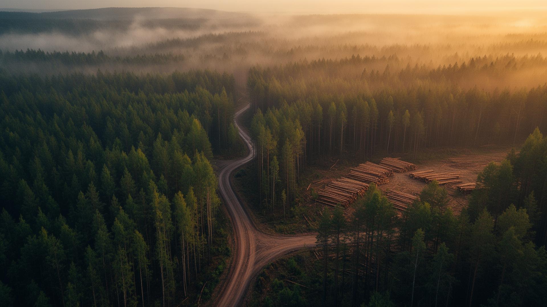
TimberTRDR connects landowners, foresters, loggers, and mills through a modern GIS-powered timber marketplace — representing standing timber and log sale products to reputable and certified purchasers.
How it works
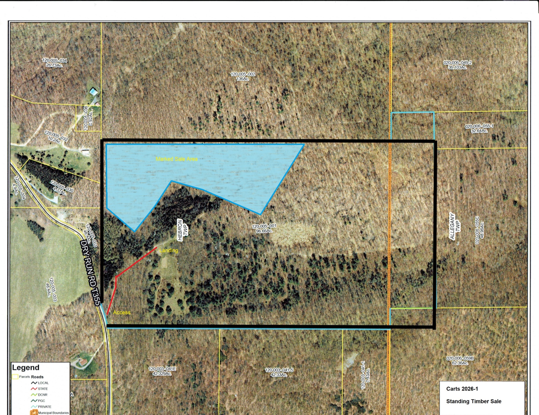
Draw boundaries on satellite imagery. Designate sales areas, stand types, access point, and critical E&S planning locations.
Choose sealed bid, open auction, or negotiated sale. Set your reserve and your timeline.
Certified Foresters and Verified buyers, escrowed deposits, digital contracts, and a paper trail you can audit from forest to mill.

GIS-powered
Every offering on TimberTRDR is anchored to accurate GIS mapping — with slope, soil, access roads, proposed skid trails designs, landing areas, and E&S Control Plan requirements.
High-res imagery and canopy height models layered into every stand.
Pull from your cruise data or hire a forester through the platform.
Haul distances, road class, and seasonal wet-weather flags.
Match listings against county GIS and recorded parcel deeds.
Who it's for
Get competing offers without leaving your kitchen table. Keep control of timing, species, and stewardship rules.
Manage cruises, listings, and clients in one workspace. Take stands to market with a few clicks.
See tracts that match your equipment and haul radius first. Bid on what fits your crew.
Build a steady product supply within your search radius. Form consistent relationships with qualified suppliers.

Our thesis
The timber industry runs on relationships, intuition, and trust. We're not replacing that. We're giving it a place to live online — where every stand has a price, every buyer has a track record, and every harvest leaves a trail.
Early access
We're onboarding landowners, foresters, loggers, and mills.
Tell us who you are — we'll do the rest.